An Ideas and Design Competition for Northeast Florida
After Superstorm Sandy, a Rebuilding Task Force launched REBUILD BY DESIGN, a regional design competition to promote resilience for the Sandy-affected region. Our REGIONAL RESILIENCY REBUILD (R3) has similar objectives except the idea is to think about how Northeast Florida could thrive after a disaster, before disaster strikes. Much like its predecessor, REGIONAL RESILIENCY REBUILD (R3)’s objectives are:
1. Contribute to a better understanding of the region’s vulnerabilities, strengths, and Interdependencies through dialogue and visioning;
2. Generate design proposals that focus on regionally applicable solutions, increase resilience, develop and promote innovation, and integrate local efforts in the region;
3. Build capacity of local communities and federal agencies while promoting an integrated regional approach;
4. Connect to local efforts and strengthen the collaboration within governments and between government, business, academic, non-profit, and other organizations;
5. Ignite innovation, outside-the-box perspectives, and address new trends; and
6. Envision world-class projects with regional impact (either large scale or replicable across the region).
Like Rebuild by Design, REGIONAL RESILIENCY REBUILD (R3) has four focus areas:
1. Coastal & Waterfront Municipalities
2. Urban Environments
3. Ecological and Waterbody Networks
4. The Unidentified and the Unexpected
This is largely where the similarities end. Unlike its predecessor, the R3 Challenge seeks to encourage consideration of regional vulnerabilities and to inspire creative ideas BEFORE the disaster happens. We provide a map to begin with that we ask you to believe reflects the areas that have been subject to a disaster. We ask you to imagine that the built and natural environments in these areas have been severely impacted by a storm, and that most buildings and infrastructure in these areas are no longer viable. This exact scenario will never happen, as storms do not follow the pathways set by the flood zones or storm surge zones included in our map. However, the map will help us imagine a disaster before it happens, and this can make us better positioned to rebuild what is appropriate where it is appropriate, to rethink and to regroup after a disaster. We provide other maps and tools to inform your ideas.
Want to participate? Here are the rules.
Watch for R3 Challenge results to be featured at the Regional Resiliency Evening Exchange on June 27, 2016. Watch this website for information about prizes. Want an overview? Here is a brochure.
Coastal & Waterfront Municipalities
Ecological and Waterbody Networks
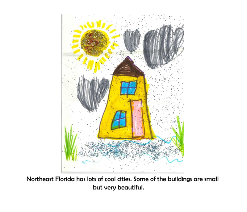
Urban Environments